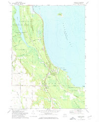
1971 Map of Ossineke
USGS Topo · Published 1974About this map
Ossineke sits at the edge of Thunder Bay where the North Branch Devils River and South Branch meet the Lake Huron shoreline. This 1970s coastal landscape reflects a balance of small-scale settlement and expansive protected lands, including portions of the Alpena State Forest and the Thunder Bay River State Forest. The map detail shows several family-named thoroughfares such as Gerke Road and Nicholson Hill Road that connect inland farms and rural homesteads to the coastal hamlet.
Find a feature on this map
35 named features on this map. Tap any name to fly to it.
Don’t see what you’re looking for? This feature index may not catch every label — zoom into the map to look around manually.
Map Details
Editions of this 1971 Ossineke Map
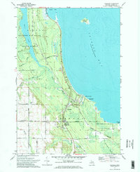
2 editions found
Other maps of this area

1954 · Tawas City
USGS Topo · 1:250,000

1954 · Alpena
USGS Topo · 1:250,000

1957 · Alpena
USGS Topo · 1:250,000

1958 · Alpena
USGS Topo · 1:250,000

1958 · Tawas City
USGS Topo · 1:250,000

1969 · Alpena
USGS Topo · 1:250,000

1971 · Lake Winyah
USGS Topo · 1:24,000

1971 · Alpena
USGS Topo · 1:24,000

1971 · Spruce
USGS Topo · 1:24,000

1971 · North Point
USGS Topo · 1:24,000