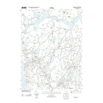
2013 Map of Ossining
USGS Topo · Published 2013About this map
Briarcliff Manor and the village of Ossining center this topographic survey of Westchester County, illustrating a landscape defined by its intricate water systems and early 21st-century residential patterns. The area is heavily marked by man-made reservoirs and historical churchyards, including the Saint Augustines Cem and the Methodist Episcopal Church Cem. To the north, the New Croton Reservoir dominates the terrain, bridged by the New Croton Reservoir Bridge, while the Pocantico River and Indian Brook Reservoir feed into the lower elevations toward the Hudson River.
Find a feature on this map
144 named features on this map. Tap any name to fly to it.
Don’t see what you’re looking for? This feature index may not catch every label — zoom into the map to look around manually.
Map Details
Editions of this 2013 Ossining Map
This is the sole edition of this map. No revisions or reprints were ever made.
Other maps of this area

1892 · Stamford
USGS Topo · 1:62,500

1892 · West Point
USGS Topo · 1:62,500

1892 · Carmel
USGS Topo · 1:62,500

1892 · Tarrytown
USGS Topo · 1:62,500

1893 · Carmel
USGS Topo · 1:62,500

1893 · Stamford
USGS Topo · 1:62,500

1893 · Tarrytown
USGS Topo · 1:62,500

1894 · West Point
USGS Topo · 1:62,500

1894 · Carmel
USGS Topo · 1:62,500

1899 · Stamford
USGS Topo · 1:62,500