
2023 Map of Ossining
USGS Topo · Published 2023About this map
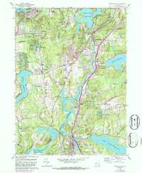
Ossining and the surrounding Westchester hills are defined by a complex network of 21st-century infrastructure layered over a deep settlement history. This modern topographical study illustrates the critical role of water management in the region, tracing the massive New Croton Reservoir and the parallel paths of the New Croton Aqueduct and Catskill Aqueduct as they move south toward the city. The landscape is a dense mix of established residential communities like Chappaqua and Briarcliff Manor, punctuated by significant local landmarks such as the Kehilath Yakov Rabbinical Seminary and the Ossining Post Office.
Find a feature on this map
100 named features on this map. Tap any name to fly to it.
Don’t see what you’re looking for? This feature index may not catch every label — zoom into the map to look around manually.
Map Details
Editions of this 2023 Ossining Map
This is the sole edition of this map. No revisions or reprints were ever made.
Historical Maps of Yorktown Through Time
22 maps found
1897 Harlem
Westchester County, NY

1898 Harlem
Westchester County, NY
1900 Harlem
Westchester County, NY

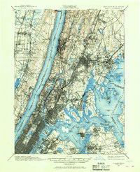
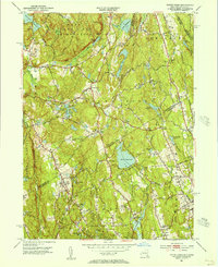
1936 Ossining
Westchester County, NY
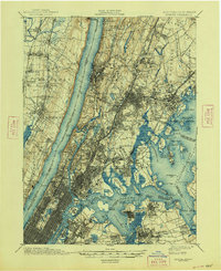
1943 Ossining
Westchester County, NY
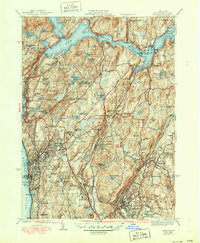
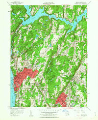
1944 Croton Falls
Westchester County, NY

1947 Mamaroneck
Westchester County, NY

1947 Mt Vernon
Westchester County, NY

1947 Pound Ridge
Westchester County, NY
1951 Pound Ridge
Westchester County, NY
1955 Mamaroneck
Westchester County, NY
1955 Ossining
Westchester County, NY
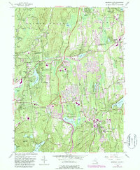
1956 Mohegan Lake
Westchester County, NY
1960 Croton Falls
Westchester County, NY
1960 Pound Ridge
Westchester County, NY
1967 Mamaroneck
Westchester County, NY
1967 Ossining
Westchester County, NY

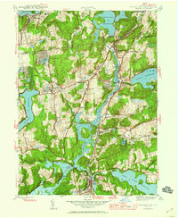
2023 Croton Falls
Westchester County, NY

2023 Mamaroneck
Westchester County, NY

2023 Mohegan Lake
Westchester County, NY
2023 Ossining
Westchester County, NY

2023 Pound Ridge
Westchester County, NY