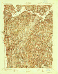
1936 Map of Ossining
USGS Topo · Published 1936About this map
Croton Dam anchors the northern landscape of this survey, holding back the waters of Croton Lake which dominates the upper townships of Cortlandt and Yorktown. Along the Hudson River shoreline, the high-density development of Ossining is marked by the sprawling compound of Sing Sing State Prison and the nearby Public Dock. The interior hills show a transition from agricultural corners to institutional estates and private clubs, such as the Maryknoll Seminary and the Sleepy Hollow Country Club.
Find a feature on this map
127 named features on this map. Tap any name to fly to it.
Don’t see what you’re looking for? This feature index may not catch every label — zoom into the map to look around manually.
Map Details
Editions of this 1936 Ossining Map
This is the sole edition of this map. No revisions or reprints were ever made.
Other maps of this area

1892 · Stamford
USGS Topo · 1:62,500

1892 · West Point
USGS Topo · 1:62,500

1892 · Carmel
USGS Topo · 1:62,500

1892 · Tarrytown
USGS Topo · 1:62,500

1893 · Carmel
USGS Topo · 1:62,500

1893 · Stamford
USGS Topo · 1:62,500

1893 · Tarrytown
USGS Topo · 1:62,500

1894 · West Point
USGS Topo · 1:62,500

1894 · Carmel
USGS Topo · 1:62,500

1899 · Stamford
USGS Topo · 1:62,500