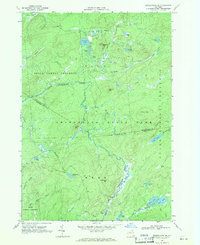
1966 Map of Oswegatchie SE
USGS Topo · Published 1971About this map
The Oswegatchie River Middle Branch meanders through the heart of the Adirondack State Park, defining a landscape of high-elevation wetlands and forested peaks in the late 1960s. This survey, compiled from 1966 aerial photography, covers the intersection of St. Lawrence and Herkimer Counties within the townships of Fine and Webb. The terrain is characterized by a dense network of water bodies, including Streeter Lake, Massawepie Pond, and the secluded Emerald Lake.
Find a feature on this map
46 named features on this map. Tap any name to fly to it.
Don’t see what you’re looking for? This feature index may not catch every label — zoom into the map to look around manually.
Map Details
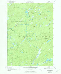
Editions of this 1966 Oswegatchie SE Map
2 editions found
Other maps of this area

1903 · Big Moose
USGS Topo · 1:62,500

1912 · Number Four
USGS Topo · 1:62,500

1915 · Number Four
USGS Topo · 1:62,500

1916 · Oswegatchie
USGS Topo · 1:62,500

1918 · Oswegatchie
USGS Topo · 1:62,500

1919 · Cranberry Lake
USGS Topo · 1:62,500

1921 · Cranberry Lake
USGS Topo · 1:62,500

1931 · Cranberry Lake
USGS Topo · 1:62,500

1948 · Ogdensburg
USGS Topo · 1:250,000

1950 · Utica
USGS Topo · 1:250,000