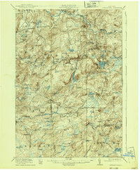
1918 Map of Oswegatchie
USGS Topo · Published 1939About this map
Benson Mines and the iron-rich hills of southern St. Lawrence County anchor this terrain as it appeared during the 1910s. The Carthage and Adirondack Ry snakes through the dense woodland, connecting industrial outposts like Jayville, Aldrich, and Oswegatchie to larger markets. This landscape is defined by the winding course of the Oswegatchie River, which powered local enterprise at the Browns Falls Power Plant and Collins Mills.
Find a feature on this map
103 named features on this map. Tap any name to fly to it.
Don’t see what you’re looking for? This feature index may not catch every label — zoom into the map to look around manually.
Map Details
Editions of this 1918 Oswegatchie Map
5 editions found

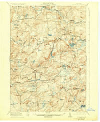
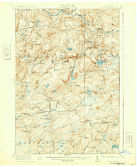
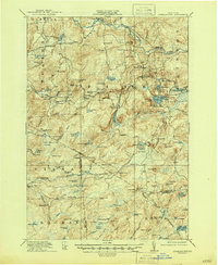
Other maps of this area

1903 · Big Moose
USGS Topo · 1:62,500

1911 · Lowville
USGS Topo · 1:62,500

1912 · Number Four
USGS Topo · 1:62,500

1913 · Lowville
USGS Topo · 1:62,500

1913 · Lake Bonaparte
USGS Topo · 1:62,500

1915 · Gouverneur
USGS Topo · 1:62,500

1915 · Number Four
USGS Topo · 1:62,500

1915 · Russell
USGS Topo · 1:62,500

1916 · Lake Bonaparte
USGS Topo · 1:62,500

1916 · Oswegatchie
USGS Topo · 1:62,500