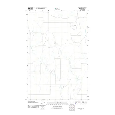
2011 Map of Oswego NW
USGS Topo · Published 2011About this map
Oswego Creek and its many tributaries, including the East Fork Oswego Creek, define this drainage basin within the Frazer District. The landscape is characterized by its hydrologic features, notably A Nichols Dam and the distinct elevation of the Three Buttes in the south-central portion of the map. A series of rural transportation routes, such as Frazer Richmond Rd and Oswego Creek Rd, connect the scattered landmarks. The presence of Flynn Creek at the eastern edge further illustrates the dendritic water patterns of this Montana-Valley County border region. This survey captures a specific pastoral and hydrological arrangement in a territory defined by its naming conventions centered around the Oswego watercourse.
Find a feature on this map
9 named features on this map. Tap any name to fly to it.
Don’t see what you’re looking for? This feature index may not catch every label — zoom into the map to look around manually.
Map Details
Editions of this 2011 Oswego NW Map
This is the sole edition of this map. No revisions or reprints were ever made.
Other maps of this area
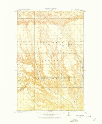
1910 · Todd Lakes
USGS Topo · 1:62,500
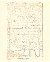
1915 · Frazer
USGS Topo · 1:62,500
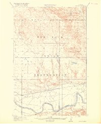
1915 · Oswego
USGS Topo · 1:62,500
1915 · Todd Lakes
USGS Topo · 1:62,500
1915 · Spring Creek
USGS Topo · 1:62,500
1954 · Wolf Point
USGS Topo · 1:250,000
1954 · Glasgow
USGS Topo · 1:250,000
1957 · Glasgow
USGS Topo · 1:250,000
1958 · Wolf Point
USGS Topo · 1:250,000
1958 · Glasgow
USGS Topo · 1:250,000