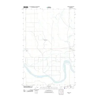
2011 Map of Oswego
USGS Topo · Published 2011About this map
The Missouri River carves a sweeping path through this northern Montana landscape, anchoring the geography of the Fort Peck Indian Reservation. This survey documents the rural infrastructure of the early 21st century, where water management is critical to the local economy and land use. Landmarks such as the Fort Peck Reservation Number 12 Dam and the Don Number 1 Dam indicate the managed hydrology of the region, while the Oswego Creek and East Fork Oswego Creek systems provide natural drainage toward the river valley.
Find a feature on this map
18 named features on this map. Tap any name to fly to it.
Don’t see what you’re looking for? This feature index may not catch every label — zoom into the map to look around manually.
Map Details
Editions of this 2011 Oswego Map
This is the sole edition of this map. No revisions or reprints were ever made.
Other maps of this area

1915 · Frazer
USGS Topo · 1:62,500

1915 · Oswego
USGS Topo · 1:62,500

1954 · Jordan
USGS Topo · 1:250,000

1954 · Glendive
USGS Topo · 1:250,000

1954 · Wolf Point
USGS Topo · 1:250,000

1954 · Glasgow
USGS Topo · 1:250,000

1956 · Jordan
USGS Topo · 1:250,000

1957 · Glasgow
USGS Topo · 1:250,000

1957 · Glendive
USGS Topo · 1:250,000

1958 · Wolf Point
USGS Topo · 1:250,000