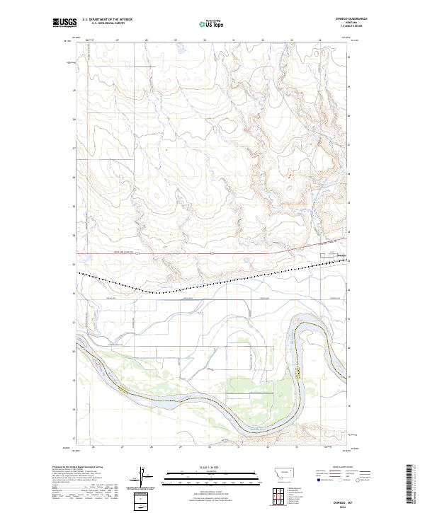
2024 Map of Oswego
USGS Topo · Published 2024About this map
Oswego sits on the northern banks of the Missouri River, marking a point of transition between the river bottomlands and the dissected plains of Valley County. The settlement is defined by its position along the Lewis and Clark Trl, mirroring the ancient travel corridors that follow the river valley. To the north, the landscape is etched by Oswego Creek and its East Fork, which drain the higher reaches of the quadrangle. The grid of local roads, including Frazer-Richland Rd and Oswego Rd, reveals a systematic agricultural and residential layout characteristic of this part of eastern Montana. The southern boundary of the map follows the winding course of the Missouri, where the border between Valley and McCone counties is established by the river's main channel. Notable local thoroughfares like Indian Hwy and Fourstar Rd provide access to the various sections and farmsteads throughout the township.
Find a feature on this map
23 named features on this map. Tap any name to fly to it.
Don’t see what you’re looking for? This feature index may not catch every label — zoom into the map to look around manually.
Map Details
Editions of this 2024 Oswego Map
This is the sole edition of this map. No revisions or reprints were ever made.
Other maps of this area

1915 · Frazer
USGS Topo · 1:62,500

1915 · Oswego
USGS Topo · 1:62,500

1954 · Jordan
USGS Topo · 1:250,000

1954 · Glendive
USGS Topo · 1:250,000

1954 · Wolf Point
USGS Topo · 1:250,000

1954 · Glasgow
USGS Topo · 1:250,000

1956 · Jordan
USGS Topo · 1:250,000

1957 · Glasgow
USGS Topo · 1:250,000

1957 · Glendive
USGS Topo · 1:250,000

1958 · Wolf Point
USGS Topo · 1:250,000