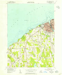
1954 Map of Oswego West
USGS Topo · Published 1955About this map
Fort Ontario stands prominently at the mouth of the Oswego River in this mid-century survey of the New York shoreline. The city of Oswego is shown in detail, including the State Teachers College campus, the Kingsford Park School, and the Oswego Childrens Home. The landscape transitions from the urban harbor and Oswego Beach into a rural network of fruit farms and scattered schools, such as School No 9 and School No 13.
Find a feature on this map
61 named features on this map. Tap any name to fly to it.
Don’t see what you’re looking for? This feature index may not catch every label — zoom into the map to look around manually.
Map Details
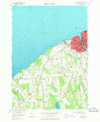
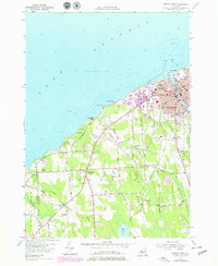
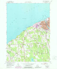
Editions of this 1954 Oswego West Map
4 editions found
Other maps of this area

1900 · Oswego
USGS Topo · 1:62,500

1900 · Fulton
USGS Topo · 1:62,500

1943 · Oswego East
USGS Topo · 1:31,680

1943 · Oswego West
USGS Topo · 1:31,680

1943 · Hannibal
USGS Topo · 1:31,680

1943 · West Of Texas
USGS Topo · 1:31,680

1943 · Fair Haven
USGS Topo · 1:31,680
1943 · West Ninemile Point
USGS Topo · 1:31,680
1943 · Fulton
USGS Topo · 1:31,680
1954 · Hannibal
USGS Topo · 1:24,000