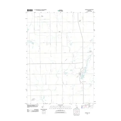
2011 Map of Otisville
USGS Topo · Published 2011About this map
Otisville serves as the primary hub of this Genesee County landscape, where the local economy and social life are anchored by the nearby lake system. The village is surrounded by several small water bodies, including Sand Lake, Dock Lake, and McCormick Lake, which shape the local geography and provide a center for activity. Cultural and historical points of interest are well-represented by several burial grounds, such as Arbela Township Cemetery, Hopkins Cemetery, and Smith Hill Cemetery, which offer important touchpoints for genealogical research in the Forest Township area.
Find a feature on this map
49 named features on this map. Tap any name to fly to it.
Don’t see what you’re looking for? This feature index may not catch every label — zoom into the map to look around manually.
Map Details
Editions of this 2011 Otisville Map
This is the sole edition of this map. No revisions or reprints were ever made.
Other maps of this area

1920 · Flint
USGS Topo · 1:62,500

1922 · Flint
USGS Topo · 1:62,500

1943 · Flint
USGS Topo · 1:62,500

1954 · Flint
USGS Topo · 1:250,000

1958 · Flint
USGS Topo · 1:250,000

1963 · Columbiaville
USGS Topo · 1:24,000

1963 · Frankenmuth
USGS Topo · 1:24,000

1963 · Elba
USGS Topo · 1:24,000

1963 · Vassar
USGS Topo · 1:24,000

1963 · Juniata
USGS Topo · 1:24,000