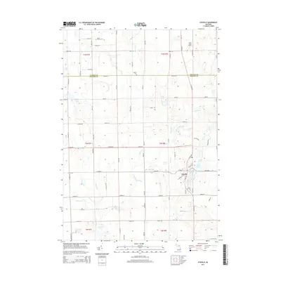
2014 Map of Otisville
USGS Topo · Published 2014About this map
Otisville serves as the primary settlement on this landscape, situated near a cluster of small lakes that define the eastern terrain. The village is surrounded by several notable water bodies, including McCormick Lake, Sand Lake, and Dock Lake, which likely influenced the local development and recreation. The surrounding rural areas across the Tuscola and Genesee county line are marked by agricultural tracts and a network of drainage systems like the Coe Drain and Misner Drain, which manage the low-lying hydrology typical of this part of Michigan.
Find a feature on this map
77 named features on this map. Tap any name to fly to it.
Don’t see what you’re looking for? This feature index may not catch every label — zoom into the map to look around manually.
Map Details
Editions of this 2014 Otisville Map
This is the sole edition of this map. No revisions or reprints were ever made.
Other maps of this area

1920 · Flint
USGS Topo · 1:62,500

1922 · Flint
USGS Topo · 1:62,500

1943 · Flint
USGS Topo · 1:62,500

1954 · Flint
USGS Topo · 1:250,000

1958 · Flint
USGS Topo · 1:250,000

1963 · Columbiaville
USGS Topo · 1:24,000

1963 · Frankenmuth
USGS Topo · 1:24,000

1963 · Elba
USGS Topo · 1:24,000

1963 · Vassar
USGS Topo · 1:24,000

1963 · Juniata
USGS Topo · 1:24,000