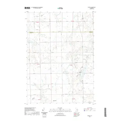
2019 Map of Otisville
USGS Topo · Published 2019About this map
Otisville serves as the primary hub in this corner of Genesee and Tuscola Counties, situated along the banks of McCormick Lake. The landscape is defined by an intricate network of drainage systems such as Drudge Drain, Burns Drain, and the Thetford and Arbela Drain, which crisscross the low-lying terrain to support the region's agricultural utility. North of the town center, Grass Roots Airport marks a modern utility amidst the rural sections of t10n r8e. Genealogists will find several burial grounds documented on the sheet, including the Smith Hill Cem near the intersection of S State St and Cemetery Rd, and the Arbela Township Cem to the northwest. The southern edge of the map identifies the settlement of Rogersville, connected by a grid of namesake roads like Arbela Rd and N Gale Rd that follow the established section lines of the township.
Find a feature on this map
75 named features on this map. Tap any name to fly to it.
Don’t see what you’re looking for? This feature index may not catch every label — zoom into the map to look around manually.
Map Details
Editions of this 2019 Otisville Map
This is the sole edition of this map. No revisions or reprints were ever made.
Other maps of this area

1920 · Flint
USGS Topo · 1:62,500

1922 · Flint
USGS Topo · 1:62,500

1943 · Flint
USGS Topo · 1:62,500

1954 · Flint
USGS Topo · 1:250,000

1958 · Flint
USGS Topo · 1:250,000

1963 · Columbiaville
USGS Topo · 1:24,000

1963 · Frankenmuth
USGS Topo · 1:24,000

1963 · Elba
USGS Topo · 1:24,000

1963 · Vassar
USGS Topo · 1:24,000

1963 · Juniata
USGS Topo · 1:24,000