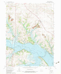
1965 Map of Otley
USGS Topo · Published 1983About this map
Lake Red Rock dominates the southern landscape of this mid-1960s survey, representing a significant transformation of the Des Moines River valley. The map documents the area during a period of transition, where the reservoir's controlled inundation zone reshaped local geography around the Knoxville and Summit township lines. To the north, the village of Otley remains a focal point along the Chicago Rock Island and Pacific railroad, serving as a contrast to the rural south.
Find a feature on this map
28 named features on this map. Tap any name to fly to it.
Don’t see what you’re looking for? This feature index may not catch every label — zoom into the map to look around manually.
Map Details
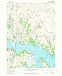
Editions of this 1965 Otley Map
2 editions found
Other maps of this area

1909 · Knoxville
USGS Topo · 1:62,500

1910 · Pella
USGS Topo · 1:62,500

1912 · Knoxville
USGS Topo · 1:62,500

1912 · Pella
USGS Topo · 1:62,500

1954 · Des Moines
USGS Topo · 1:250,000

1956 · Des Moines
USGS Topo · 1:250,000

1957 · Des Moines
USGS Topo · 1:250,000

1965 · Prairie City
USGS Topo · 1:24,000

1965 · Knoxville NW
USGS Topo · 1:24,000

1965 · Monroe
USGS Topo · 1:24,000