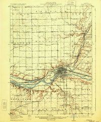
1915 Map of Ottawa
USGS Topo · Published 1928About this map
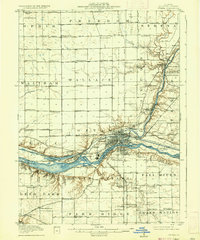
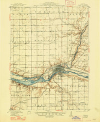
The Fox River meets the Illinois River at the industrial and transportation hub of Ottawa in this 1915 survey. This area of LaSalle County is defined by its early 20th-century reliance on both water and rail, featuring the historic Illinois and Michigan Canal with Lock No. 11 and Lock No. 12 still prominent. The landscape transitions from the river valley to the fertile plains of townships like Ophir, Waltham, and Wallace, where a dense network of country schools served the agricultural community.
Find a feature on this map
104 named features on this map. Tap any name to fly to it.
Don’t see what you’re looking for? This feature index may not catch every label — zoom into the map to look around manually.
Map Details
Editions of this 1915 Ottawa Map
7 editions found
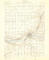
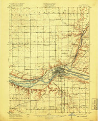
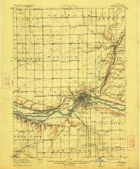
Other maps of this area

1892 · Marseilles
USGS Topo · 1:62,500

1892 · Ottawa
USGS Topo · 1:62,500

1893 · Lasalle
USGS Topo · 1:62,500

1911 · La Salle
USGS Topo · 1:62,500

1913 · La Salle
USGS Topo · 1:62,500

1915 · Ottawa
USGS Topo · 1:62,500

1916 · Marseilles
USGS Topo · 1:62,500

1925 · Streator
USGS Topo · 1:62,500

1927 · Streator
USGS Topo · 1:62,500

1934 · Wenona
USGS Topo · 1:48,000