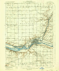
1915 Map of Ottawa
USGS Topo · Published 1937About this map
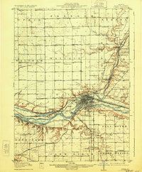
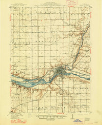
The confluence of the Fox River and the Illinois River serves as the industrial and transit hub of this 1915 survey. Centered on Ottawa, the map details a landscape defined by the Illinois and Michigan Canal and a dense network of railroads, including the Chicago Rock Island and Pacific. Just west, the terrain breaks into the dramatic sandstone bluffs and canyons of what would become a major state park, featuring Starved Rock, Lover's Leap, and Buffalo Rock. Beyond the river valley, the tablelands are divided into townships like Waltham and Freedom, marked by a remarkably high density of rural schoolhouses such as Hickory College and Edgecombe School. This record captures the region before modern highway expansion, showing the proximity of early social fixtures like the Chautauqua Grounds and the County Farm to the growing urban center.
Find a feature on this map
108 named features on this map. Tap any name to fly to it.
Don’t see what you’re looking for? This feature index may not catch every label — zoom into the map to look around manually.
Map Details
Editions of this 1915 Ottawa Map
7 editions found
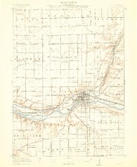
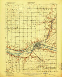
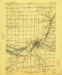
Other maps of this area

1892 · Marseilles
USGS Topo · 1:62,500

1892 · Ottawa
USGS Topo · 1:62,500

1893 · Lasalle
USGS Topo · 1:62,500

1911 · La Salle
USGS Topo · 1:62,500

1913 · La Salle
USGS Topo · 1:62,500

1915 · Ottawa
USGS Topo · 1:62,500

1916 · Marseilles
USGS Topo · 1:62,500

1925 · Streator
USGS Topo · 1:62,500

1927 · Streator
USGS Topo · 1:62,500

1934 · Wenona
USGS Topo · 1:48,000