
1915 Map of Ottawa
USGS Topo · Published 1915About this map
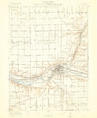
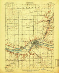
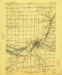
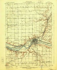
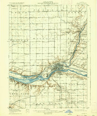
Ottawa stands at the confluence of the Illinois River and the Vermilion River, serving as a major hub for early 20th-century transportation. The map reveals a dense network of transit, including the Illinois and Michigan Canal and numerous rail lines like the Chicago Ottawa and Peoria Elec. The presence of the Chautauqua Grounds near the city center and the newly established Starved Rock State Park to the west highlights the area's significance as a regional destination for recreation and assembly.
Find a feature on this map
103 named features on this map. Tap any name to fly to it.
Don’t see what you’re looking for? This feature index may not catch every label — zoom into the map to look around manually.
Map Details
Editions of this 1915 Ottawa Map
7 editions found
Other maps of this area

1892 · Marseilles
USGS Topo · 1:62,500

1892 · Ottawa
USGS Topo · 1:62,500

1893 · Lasalle
USGS Topo · 1:62,500

1911 · La Salle
USGS Topo · 1:62,500

1913 · La Salle
USGS Topo · 1:62,500

1916 · Marseilles
USGS Topo · 1:62,500

1925 · Streator
USGS Topo · 1:62,500

1927 · Streator
USGS Topo · 1:62,500

1934 · Wenona
USGS Topo · 1:48,000

1939 · Wenona
USGS Topo · 1:62,500