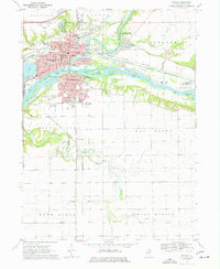
1970 Map of Ottawa
USGS Topo · Published 1977About this map
The confluence of the Illinois River and the Fox River anchors this study of LaSalle County, where the industrial and transport history of Ottawa is on full display. The city’s core is dense with civic and religious landmarks, including the Courthouse, the hospital, and several parochial sites like St Patricks Church and Marquette High School. The mapping of the Illinois and Michigan Canal, including an abandoned section, reveals the evolution of waterway transit as it parallels the Chicago Rock Island and Pacific railroad.
Find a feature on this map
58 named features on this map. Tap any name to fly to it.
Don’t see what you’re looking for? This feature index may not catch every label — zoom into the map to look around manually.
Map Details
Editions of this 1970 Ottawa Map
2 editions found
Other maps of this area

1892 · Marseilles
USGS Topo · 1:62,500

1892 · Ottawa
USGS Topo · 1:62,500

1915 · Ottawa
USGS Topo · 1:62,500

1916 · Marseilles
USGS Topo · 1:62,500

1925 · Streator
USGS Topo · 1:62,500

1927 · Streator
USGS Topo · 1:62,500

1940 · Marseilles
USGS Topo · 1:62,500

1946 · Ottawa
USGS Topo · 1:62,500

1958 · Odell
USGS Topo · 1:62,500

1958 · Aurora
USGS Topo · 1:250,000