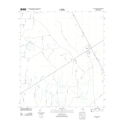
2012 Map of Otter Creek
USGS Topo · Published 2012About this map
The town of Otter Creek serves as a central hub in this Levy County landscape, where the namesake Otter Cr waterway winds through a patchwork of low-lying terrain. To the southwest, the small settlement of Ellzey marks a significant point along the transit corridor. The map reveals a transition from the structured grid of northwestern residential roads, such as NW 30th St, to the more irregular network of rural routes that likely follow older timbering or agricultural paths. Distinctive local names like Meeks Grade and Clyatt Rd suggest deep-rooted family ties to the land. This 2012 survey illustrates the persistence of these rural communities, maintaining their character even as modern state and county highways integrate the region into the broader Florida peninsula.
Find a feature on this map
51 named features on this map. Tap any name to fly to it.
Don’t see what you’re looking for? This feature index may not catch every label — zoom into the map to look around manually.
Map Details
Editions of this 2012 Otter Creek Map
This is the sole edition of this map. No revisions or reprints were ever made.
Other maps of this area

1954 · Chiefland
USGS Topo · 1:24,000

1954 · Otter Creek
USGS Topo · 1:24,000

1954 · Bronson
USGS Topo · 1:24,000

1954 · Manatee Springs
USGS Topo · 1:24,000

1954 · Chiefland SW
USGS Topo · 1:24,000

1954 · Bronson SW
USGS Topo · 1:24,000

1954 · Gainesville
USGS Topo · 1:250,000

1955 · Lebanon Station
USGS Topo · 1:24,000

1955 · Waccasassa Bay
USGS Topo · 1:24,000

1955 · Sumner
USGS Topo · 1:24,000