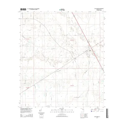
2015 Map of Otter Creek
USGS Topo · Published 2015About this map
Otter Creek serves as a central junction where US Highway 19 and State Road 24 converge, marking a significant transportation hub in the coastal lowlands. Just to the southwest lies the community of Ellzey, surrounded by a landscape defined by seasonal wetlands and low-lying watercourses like Otter Creek and Rocky Run. The drainage patterns here are complex, with numerous small unnamed ponds and marshy areas scattered across the terrain.
Find a feature on this map
59 named features on this map. Tap any name to fly to it.
Don’t see what you’re looking for? This feature index may not catch every label — zoom into the map to look around manually.
Map Details
Editions of this 2015 Otter Creek Map
This is the sole edition of this map. No revisions or reprints were ever made.
Other maps of this area
1954 · Chiefland
USGS Topo · 1:24,000
1954 · Otter Creek
USGS Topo · 1:24,000
1954 · Bronson
USGS Topo · 1:24,000
1954 · Manatee Springs
USGS Topo · 1:24,000
1954 · Chiefland SW
USGS Topo · 1:24,000
1954 · Bronson SW
USGS Topo · 1:24,000
1954 · Gainesville
USGS Topo · 1:250,000
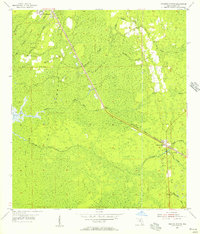
1955 · Lebanon Station
USGS Topo · 1:24,000
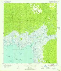
1955 · Waccasassa Bay
USGS Topo · 1:24,000
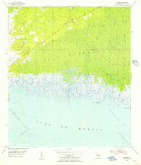
1955 · Sumner
USGS Topo · 1:24,000