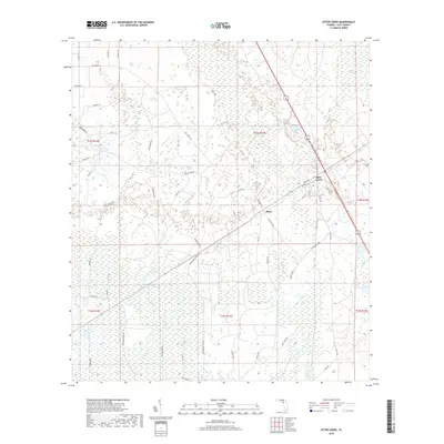
2018 Map of Otter Creek
USGS Topo · Published 2018About this map
Otter Creek and the settlement of Ellzey serve as the primary hubs in this section of Levy County, where the landscape is defined by extensive wetlands and hammocks. The terrain transitions between the higher ground of Rocky Hammock and the low-lying reaches of Devils Hammock, illustrating the unique hydrology of the Florida Big Bend region. Modern infrastructure, including several numbered county roads like Co RD 341, cuts through the natural drainage patterns of Otter Cr and Rocky Run. The map detail highlights the intersection of transportation and topography, particularly along the Meeks Grade and SW Meeks Grade, which provide access through the dense Gulf Hammock area. This 2018 survey reveals how local roads like Grey Lakes Rd have been established to navigate the complex network of creeks and wetlands that dominate the local environment.
Find a feature on this map
59 named features on this map. Tap any name to fly to it.
Don’t see what you’re looking for? This feature index may not catch every label — zoom into the map to look around manually.
Map Details
Editions of this 2018 Otter Creek Map
This is the sole edition of this map. No revisions or reprints were ever made.
Other maps of this area
1954 · Chiefland
USGS Topo · 1:24,000
1954 · Otter Creek
USGS Topo · 1:24,000
1954 · Bronson
USGS Topo · 1:24,000
1954 · Manatee Springs
USGS Topo · 1:24,000
1954 · Chiefland SW
USGS Topo · 1:24,000
1954 · Bronson SW
USGS Topo · 1:24,000
1954 · Gainesville
USGS Topo · 1:250,000
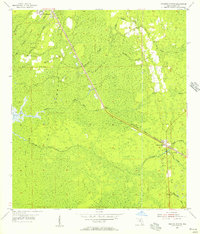
1955 · Lebanon Station
USGS Topo · 1:24,000
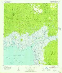
1955 · Waccasassa Bay
USGS Topo · 1:24,000
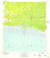
1955 · Sumner
USGS Topo · 1:24,000