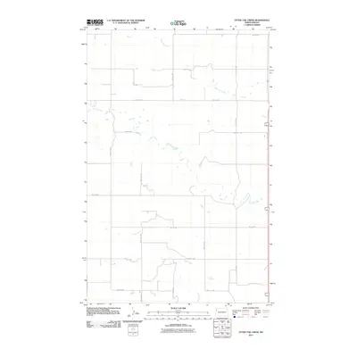
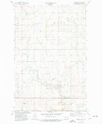
2011 Map of Otter Tail Creek
USGS Topo · Published 2011About this map
Otter Tail Creek meanders through this portion of Williams County, defining a landscape primarily shaped by intermittent watercourses and a strict section-line road grid. The drainage patterns of Camp Creek and Cow Creek intersect the vast agricultural blocks of the North Dakota prairie, illustrating the organized land management of the early 21st century. The map provides a clear look at the rural infrastructure of the period, centered on thoroughfares like County Hwy-8 and a network of secondary routes including 141st Ave NW and 66th St NW. This layout reflects a sparse but highly structured settlement pattern where development is inextricably linked to the township and range survey system, preserving the spatial logic of the High Plains.
Find a feature on this map
17 named features on this map. Tap any name to fly to it.
Don’t see what you’re looking for? This feature index may not catch every label — zoom into the map to look around manually.
Map Details
Editions of this 2011 Otter Tail Creek Map
This is the sole edition of this map. No revisions or reprints were ever made.
Other maps of this area

1953 · Williston
USGS Topo · 1:250,000

1957 · Williston
USGS Topo · 1:250,000
1959 · Marmon SE
USGS Topo · 1:24,000
1959 · Williston West
USGS Topo · 1:24,000
1959 · Williston East
USGS Topo · 1:24,000
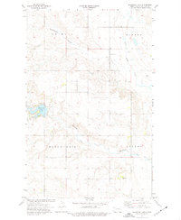
1974 · Blacktail Lake
USGS Topo · 1:24,000
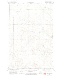
1974 · Bonetraill
USGS Topo · 1:24,000
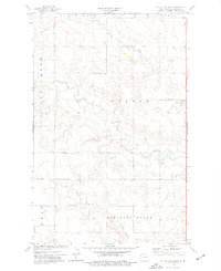
1974 · Otter Tail Creek
USGS Topo · 1:24,000
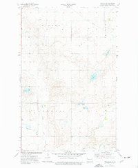
1974 · Twin Lakes
USGS Topo · 1:24,000
1974 · Trenton NE
USGS Topo · 1:24,000