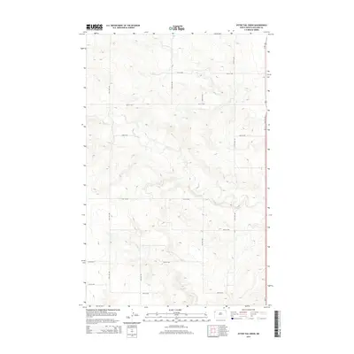
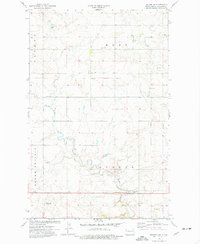
2014 Map of Otter Tail Creek
USGS Topo · Published 2014About this map
Otter Tail Cr and its tributaries carve a network of drainages across this high-plains landscape in northwestern North Dakota. The terrain is characterized by the section-line road grid typical of the Great Plains, with routes like 65th St NW and 141st Ave NW defining the survey boundaries. In the southern portion of the quadrangle, Camp Cr cuts through the topography, illustrating the natural drainage patterns that have shaped the ranching and agricultural land use of the region. This 2014 survey captures the area during a period of modern energy development and agricultural continuity, providing a clear record of the intersection between the natural hydrology and the rectilinear human imprint on the land.
Find a feature on this map
15 named features on this map. Tap any name to fly to it.
Don’t see what you’re looking for? This feature index may not catch every label — zoom into the map to look around manually.
Map Details
Editions of this 2014 Otter Tail Creek Map
This is the sole edition of this map. No revisions or reprints were ever made.
Other maps of this area

1953 · Williston
USGS Topo · 1:250,000

1957 · Williston
USGS Topo · 1:250,000
1959 · Marmon SE
USGS Topo · 1:24,000
1959 · Williston West
USGS Topo · 1:24,000
1959 · Williston East
USGS Topo · 1:24,000
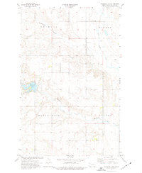
1974 · Blacktail Lake
USGS Topo · 1:24,000
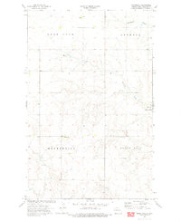
1974 · Bonetraill
USGS Topo · 1:24,000
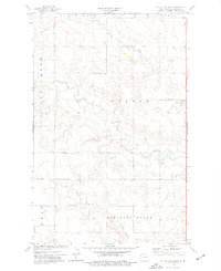
1974 · Otter Tail Creek
USGS Topo · 1:24,000
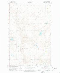
1974 · Twin Lakes
USGS Topo · 1:24,000
1974 · Trenton NE
USGS Topo · 1:24,000