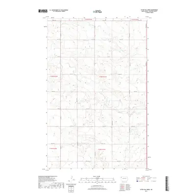
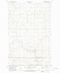
2017 Map of Otter Tail Creek
USGS Topo · Published 2017About this map
Otter Tail Creek defines the northern reaches of this Williams County landscape, where the drainage patterns of the northern Great Plains are clearly visible through a network of coulees and seasonal waterways. The map illustrates a disciplined grid of rural infrastructure, where routes like Co Hwy 8 and Co Hwy 7 intersect with a dense network of section line roads including 66th St NW and 137th Ave NW. This area is characterized by its agricultural geometry and the branching paths of Cow Creek and Camp Creek, which break the rectilinear surveyor's grid. For researchers, the map provides a precise look at the land divisions within townships such as t156n r101w, documenting the modern rural landscape before recent shifts in regional land use.
Find a feature on this map
25 named features on this map. Tap any name to fly to it.
Don’t see what you’re looking for? This feature index may not catch every label — zoom into the map to look around manually.
Map Details
Editions of this 2017 Otter Tail Creek Map
This is the sole edition of this map. No revisions or reprints were ever made.
Other maps of this area

1953 · Williston
USGS Topo · 1:250,000

1957 · Williston
USGS Topo · 1:250,000
1959 · Marmon SE
USGS Topo · 1:24,000
1959 · Williston West
USGS Topo · 1:24,000
1959 · Williston East
USGS Topo · 1:24,000
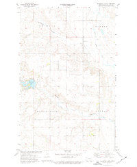
1974 · Blacktail Lake
USGS Topo · 1:24,000
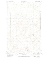
1974 · Bonetraill
USGS Topo · 1:24,000
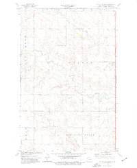
1974 · Otter Tail Creek
USGS Topo · 1:24,000
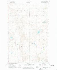
1974 · Twin Lakes
USGS Topo · 1:24,000
1974 · Trenton NE
USGS Topo · 1:24,000