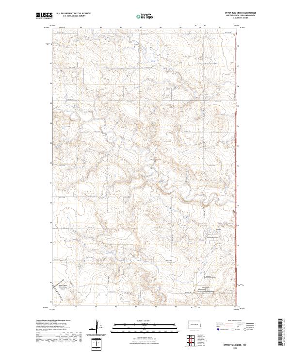
2024 Map of Otter Tail Creek
USGS Topo · Published 2024About this map
The Williston Basin International Airport anchors the southwestern corner of this modern survey, reflecting the infrastructure of the contemporary Bakken region. Located in the northern reaches of Williams County, the terrain is defined by the drainage basins of Otter Tail Creek and Camp Creek. The map details a dense grid of township and section lines, illustrating the persistence of the Public Land Survey System in organizing the North Dakota landscape.
Find a feature on this map
29 named features on this map. Tap any name to fly to it.
Don’t see what you’re looking for? This feature index may not catch every label — zoom into the map to look around manually.
Map Details
Editions of this 2024 Otter Tail Creek Map
This is the sole edition of this map. No revisions or reprints were ever made.
Other maps of this area

1953 · Williston
USGS Topo · 1:250,000

1957 · Williston
USGS Topo · 1:250,000

1959 · Marmon SE
USGS Topo · 1:24,000

1959 · Williston West
USGS Topo · 1:24,000

1959 · Williston East
USGS Topo · 1:24,000

1974 · Blacktail Lake
USGS Topo · 1:24,000

1974 · Bonetraill
USGS Topo · 1:24,000

1974 · Otter Tail Creek
USGS Topo · 1:24,000

1974 · Twin Lakes
USGS Topo · 1:24,000

1974 · Trenton NE
USGS Topo · 1:24,000