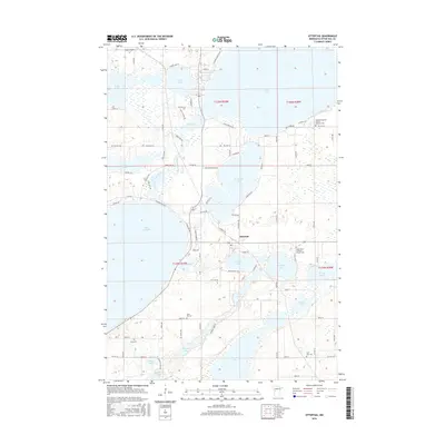
2016 Map of Ottertail
USGS Topo · Published 2016About this map
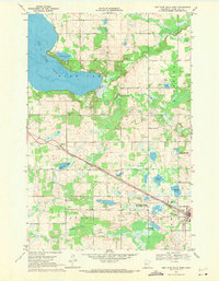
Ottertail serves as the central hub of this landscape, situated amidst a complex network of glacial water bodies and early 21st-century rural development. The area is defined by the massive expanse of Otter Tail Lake and its connection to the Otter Tail River, which winds through the terrain alongside Round Lake and Mud Lake. For those tracing local history or genealogy, the map identifies several distinct burial grounds, including the Saint John's Lutheran Church Cem, Salem Evangelical United Brethren Cem, and the smaller Zion Cem. The settlement pattern follows a mix of established county routes and newer residential developments like McGowan Estates Rd and Inlet Estates Dr, reflecting the area's growth as a lakefront community. Significant natural features such as Pelican Bay and Portage Lake further illustrate the water-dominated geography of the region.
Find a feature on this map
92 named features on this map. Tap any name to fly to it.
Don’t see what you’re looking for? This feature index may not catch every label — zoom into the map to look around manually.
Map Details
Editions of this 2016 Ottertail Map
This is the sole edition of this map. No revisions or reprints were ever made.
Other maps of this area
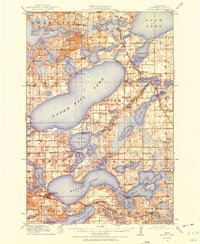
1912 · Battle Lake
USGS Topo · 1:62,500
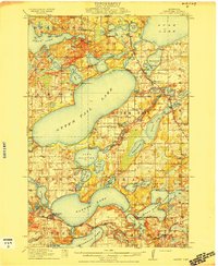
1914 · Battle Lake
USGS Topo · 1:62,500
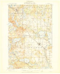
1915 · Perham
USGS Topo · 1:62,500

1953 · Brainerd
USGS Topo · 1:250,000

1957 · Brainerd
USGS Topo · 1:250,000
1958 · Brainerd
USGS Topo · 1:250,000
1965 · Brainerd
USGS Topo · 1:250,000
1969 · Henning
USGS Topo · 1:24,000
1969 · Heinola
USGS Topo · 1:24,000
1969 · New York Mills West
USGS Topo · 1:24,000