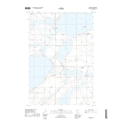
2019 Map of Ottertail
USGS Topo · Published 2019About this map
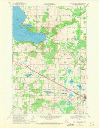
Ottertail and Richville anchor this lake-strewn landscape in the late 2010s, where the Otter Tail River winds through a complex network of glacial basins and wetlands. The geography is defined by its numerous named water bodies, including the large expanse of Buchanan Lake, Portage Lake, and the shoreline of Otter Tail Lake near Pelican Bay. This map reveals a high density of rural cemeteries and places of worship, such as Saint John's Lutheran Church Cem and Salem Evangelical United Brethren Cem, which serve as vital markers for genealogical research in this part of Otter Tail County.
Find a feature on this map
99 named features on this map. Tap any name to fly to it.
Don’t see what you’re looking for? This feature index may not catch every label — zoom into the map to look around manually.
Map Details
Editions of this 2019 Ottertail Map
This is the sole edition of this map. No revisions or reprints were ever made.
Other maps of this area
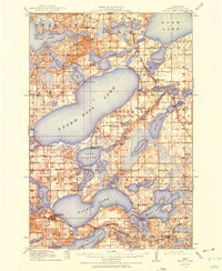
1912 · Battle Lake
USGS Topo · 1:62,500
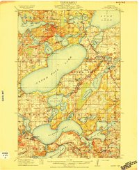
1914 · Battle Lake
USGS Topo · 1:62,500
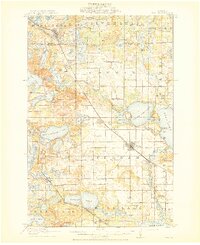
1915 · Perham
USGS Topo · 1:62,500

1953 · Brainerd
USGS Topo · 1:250,000

1957 · Brainerd
USGS Topo · 1:250,000
1958 · Brainerd
USGS Topo · 1:250,000
1965 · Brainerd
USGS Topo · 1:250,000
1969 · Henning
USGS Topo · 1:24,000
1969 · Heinola
USGS Topo · 1:24,000
1969 · New York Mills West
USGS Topo · 1:24,000