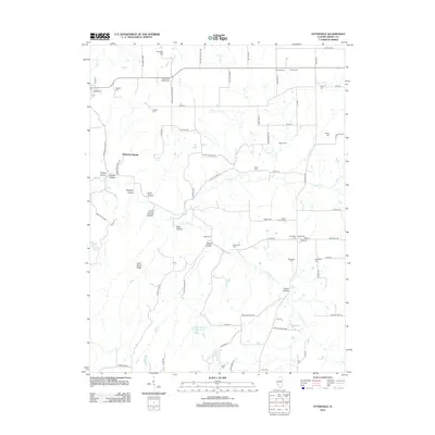
2012 Map of Otterville
USGS Topo · Published 2012About this map
The terrain of Jersey County is defined by a dense network of cemeteries and rugged drainage basins north of the Illinois River. Small family and parish burial grounds like the Noble Family Cem, Saint Marys Catholic Cem, and Heitzig Cem are scattered across the landscape, suggesting a long history of rural settlement and agrarian community life. The local geography is heavily carved by tributaries such as Otter Cr and Sugar Cr, which have created distinctive landforms like Goat Ranch Ridge and Shiloh Hollow. These features, along with names like Goat Ranch Hollow and Bear Hollow, reflect the area's agricultural and natural history. Man-made additions to the landscape include the Nugent-Schpanski Number 4 Lake, while the road network remains centered around early corridors like Otterville Rd and Saint Marys Rd.
Find a feature on this map
79 named features on this map. Tap any name to fly to it.
Don’t see what you’re looking for? This feature index may not catch every label — zoom into the map to look around manually.
Map Details
Editions of this 2012 Otterville Map
This is the sole edition of this map. No revisions or reprints were ever made.
Other maps of this area

1903 · O'Fallon
USGS Topo · 1:125,000

1927 · St. Charles
USGS Topo · 1:62,500

1930 · Hardin
USGS Topo · 1:62,500

1930 · Jerseyville
USGS Topo · 1:62,500

1931 · Brussels
USGS Topo · 1:62,500

1933 · Jerseyville
USGS Topo · 1:62,500

1933 · Saint Charles
USGS Topo · 1:62,500

1934 · Hardin
USGS Topo · 1:62,500

1938 · Hardin
USGS Topo · 1:62,500

1939 · Brussels
USGS Topo · 1:62,500