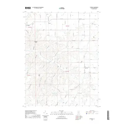
2018 Map of Otterville
USGS Topo · Published 2018About this map
Otterville and Fieldon anchor this portion of Jersey County, where the landscape is defined by a dense network of family cemeteries and deeply etched drainage hollows. The rural character of the area is underscored by the high density of small burial grounds, such as the Noble Family Cem, Dabbs Cem, and Heitzig Cem, which serve as vital markers for genealogical research. Water is a central element of the terrain, with Otter Cr and its S Fork Otter Cr cutting through the center of the sheet.
Find a feature on this map
81 named features on this map. Tap any name to fly to it.
Don’t see what you’re looking for? This feature index may not catch every label — zoom into the map to look around manually.
Map Details
Editions of this 2018 Otterville Map
This is the sole edition of this map. No revisions or reprints were ever made.
Other maps of this area

1903 · O'Fallon
USGS Topo · 1:125,000

1927 · St. Charles
USGS Topo · 1:62,500

1930 · Hardin
USGS Topo · 1:62,500

1930 · Jerseyville
USGS Topo · 1:62,500

1931 · Brussels
USGS Topo · 1:62,500

1933 · Jerseyville
USGS Topo · 1:62,500

1933 · Saint Charles
USGS Topo · 1:62,500

1934 · Hardin
USGS Topo · 1:62,500

1938 · Hardin
USGS Topo · 1:62,500

1939 · Brussels
USGS Topo · 1:62,500