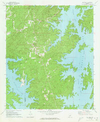
1971 Map of Our Town
USGS Topo · Published 1973About this map
The intricately branching shoreline of Martin Lake defines this portion of the Tallapoosa River basin, where the water's elevation at 490 feet creates a complex geography of peninsulas and inlets. The settlement of Our Town sits at the center of the sheet, served by a network of rural roads that connect local family landmarks and religious centers such as Mt Zion Cem and New Hope Ch. The landscape reflects a transition toward recreation and conservation in the early 1970s, anchored by Wind Creek State Park in the north and various Campgrounds and a Golf Course along the water's edge. Despite this modern utility, the map preserves older patterns of land use through scattered Quarry operations and numerous country churches, including Friendship Cem Ch and Mt Pleasant Ch, which speak to the area's deep-rooted community history before and after the river was dammed.
Find a feature on this map
24 named features on this map. Tap any name to fly to it.
Don’t see what you’re looking for? This feature index may not catch every label — zoom into the map to look around manually.
Map Details
Editions of this 1971 Our Town Map
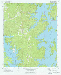
2 editions found
Other maps of this area

1901 · Wetumpka
USGS Topo · 1:125,000

1901 · Wetumpka
USGS Topo · 1:62,500

1903 · Wetumpka
USGS Topo · 1:125,000

1906 · Dadeville
USGS Topo · 1:125,000

1953 · Montgomery
USGS Topo · 1:250,000

1955 · Phenix City
USGS Topo · 1:250,000

1956 · Montgomery
USGS Topo · 1:250,000

1957 · Phenix City
USGS Topo · 1:250,000

1957 · Montgomery
USGS Topo · 1:250,000

1958 · Phenix City
USGS Topo · 1:250,000