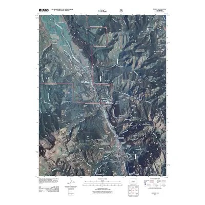
2011 Map of Ouray
USGS Topo · Published 2011About this map
Ouray sits at the heart of a vertical landscape defined by its mining heritage and dramatic geology. The Uncompahgre River carves through the center of the sheet, flanked by the Uncompahgre Gorge and the sharp cliffs of The Amphitheater. This 2011 survey reveals an incredible concentration of legacy mining operations north and east of the townsite, particularly along the slopes leading toward Cascade Mountain. Named sites like the Bachelor Mine, Wanakah Mine, and American-Nettie Mine dominate the high ridges, while processing facilities such as the American Lead and Zinc Mill and Silvershield Mill are situated near the riverbanks.
Find a feature on this map
105 named features on this map. Tap any name to fly to it.
Don’t see what you’re looking for? This feature index may not catch every label — zoom into the map to look around manually.
Map Details
Editions of this 2011 Ouray Map
This is the sole edition of this map. No revisions or reprints were ever made.
Other maps of this area

1897 · Telluride
USGS Topo · 1:62,500

1897 · Silverton
USGS Topo · 1:62,500

1901 · Silverton
USGS Topo · 1:62,500

1902 · Silverton
USGS Topo · 1:62,500

1902 · Ouray
USGS Topo · 1:62,500

1904 · Ouray
USGS Topo · 1:62,500

1904 · Telluride
USGS Topo · 1:62,500

1909 · Montrose
USGS Topo · 1:125,000

1911 · Montrose
USGS Topo · 1:125,000

1945 · Durango
USGS Topo · 1:250,000