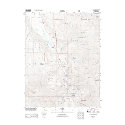
2013 Map of Ouray
USGS Topo · Published 2013About this map
The Uncompahgre River carves through the high elevations of the Uncompahgre National Forest on this 2013 survey, which centers on the town of Ouray. This area is defined by its deep vertical relief, moving from the valley floor to landmarks like Whitehouse Mountain and the Bridge of Heaven. The local industrial legacy is visible in the placement of the American Lead and Zinc Mill and the Silvershield Mill near the riverbanks.
Find a feature on this map
100 named features on this map. Tap any name to fly to it.
Don’t see what you’re looking for? This feature index may not catch every label — zoom into the map to look around manually.
Map Details
Editions of this 2013 Ouray Map
This is the sole edition of this map. No revisions or reprints were ever made.
Other maps of this area
1897 · Telluride
USGS Topo · 1:62,500
1897 · Silverton
USGS Topo · 1:62,500
1901 · Silverton
USGS Topo · 1:62,500
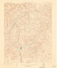
1902 · Silverton
USGS Topo · 1:62,500
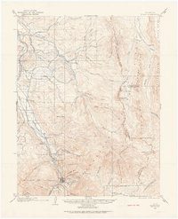
1902 · Ouray
USGS Topo · 1:62,500
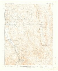
1904 · Ouray
USGS Topo · 1:62,500
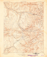
1904 · Telluride
USGS Topo · 1:62,500
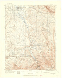
1909 · Montrose
USGS Topo · 1:125,000
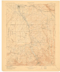
1911 · Montrose
USGS Topo · 1:125,000

1945 · Durango
USGS Topo · 1:250,000