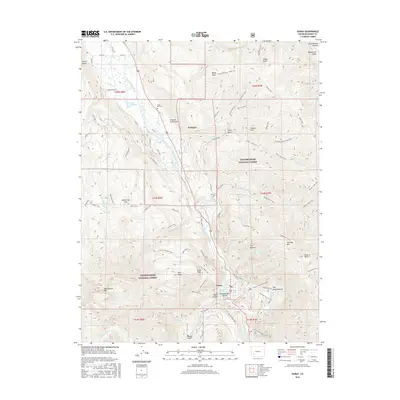
2016 Map of Ouray
USGS Topo · Published 2016About this map
Ouray sits at the base of a dramatic mountain bowl where the Uncompahgre River flows north toward Portland. This 2016 survey details the complex vertical geography of the Uncompahgre National Forest, showcasing a network of historical trails and modern forest roads that navigate steep drainages like Box Canyon and Uncompahgre Gorge. The settlement pattern follows the river valley, with local landmarks such as Ouray Hot Springs and the Cedar Hill Cem providing glimpses into the community's established history.
Find a feature on this map
94 named features on this map. Tap any name to fly to it.
Don’t see what you’re looking for? This feature index may not catch every label — zoom into the map to look around manually.
Map Details
Editions of this 2016 Ouray Map
This is the sole edition of this map. No revisions or reprints were ever made.
Other maps of this area
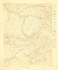
1897 · Telluride
USGS Topo · 1:62,500
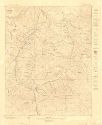
1897 · Silverton
USGS Topo · 1:62,500
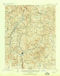
1901 · Silverton
USGS Topo · 1:62,500
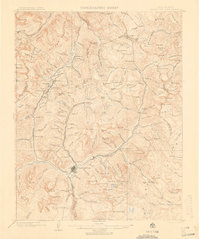
1902 · Silverton
USGS Topo · 1:62,500
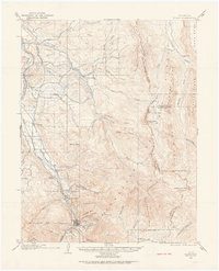
1902 · Ouray
USGS Topo · 1:62,500
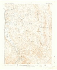
1904 · Ouray
USGS Topo · 1:62,500
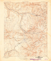
1904 · Telluride
USGS Topo · 1:62,500
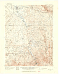
1909 · Montrose
USGS Topo · 1:125,000
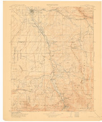
1911 · Montrose
USGS Topo · 1:125,000

1945 · Durango
USGS Topo · 1:250,000