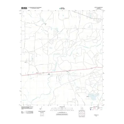
2011 Map of Ousley
USGS Topo · Published 2011About this map
The Withlacoochee River carves a winding course through this Brooks County landscape, serving as the central geographic feature for the rural communities of Ousley, Durden, and Blue Springs. This 2011 survey captures the area’s hydrography in detail, from the confluence of Okapilco Creek and Piscola Creek to the impounded waters of Langdale Lake and Chappell Lake.
Find a feature on this map
45 named features on this map. Tap any name to fly to it.
Don’t see what you’re looking for? This feature index may not catch every label — zoom into the map to look around manually.
Map Details
Editions of this 2011 Ousley Map
This is the sole edition of this map. No revisions or reprints were ever made.
Other maps of this area

1954 · Valdosta
USGS Topo · 1:250,000

1956 · Clyattville
USGS Topo · 1:24,000

1956 · Nankin
USGS Topo · 1:24,000

1956 · Baden
USGS Topo · 1:24,000

1958 · Valdosta
USGS Topo · 1:250,000

1959 · Valdosta
USGS Topo · 1:250,000

1961 · Hahira East
USGS Topo · 1:24,000

1961 · Quitman
USGS Topo · 1:62,500

1961 · Valdosta
USGS Topo · 1:24,000

1961 · Hahira West
USGS Topo · 1:24,000