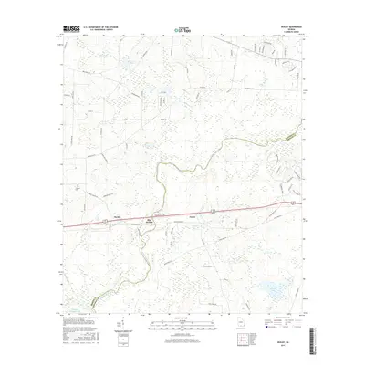
2017 Map of Ousley
USGS Topo · Published 2017About this map
The Withlacoochee River carves a winding, serpentine path through this South Georgia landscape, defining the natural boundary between Brooks and Lowndes counties. Along the northern bank, the small communities of Ousley, Blue Springs, and Durden are established along the historic east-west corridor of the Csx Transportation rail line. The terrain transitions from the wetland-rich floodplains of Tiger Creek and Piscola Creek to the managed landscapes of the Kinderlou Forest in the east. Genealogy researchers can locate the Lebanon Cemetery positioned west of the river near Monument Church Road. Several significant water bodies including Simmons Pond, Langdale Lake, and the Langdale Company Lake illustrate the area's developed water resources and industrial timber heritage.
Find a feature on this map
77 named features on this map. Tap any name to fly to it.
Don’t see what you’re looking for? This feature index may not catch every label — zoom into the map to look around manually.
Map Details
Editions of this 2017 Ousley Map
This is the sole edition of this map. No revisions or reprints were ever made.
Other maps of this area
1954 · Valdosta
USGS Topo · 1:250,000
1956 · Clyattville
USGS Topo · 1:24,000
1956 · Nankin
USGS Topo · 1:24,000
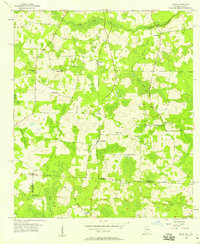
1956 · Baden
USGS Topo · 1:24,000
1958 · Valdosta
USGS Topo · 1:250,000
1959 · Valdosta
USGS Topo · 1:250,000
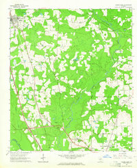
1961 · Hahira East
USGS Topo · 1:24,000
1961 · Quitman
USGS Topo · 1:62,500
1961 · Valdosta
USGS Topo · 1:24,000
1961 · Hahira West
USGS Topo · 1:24,000