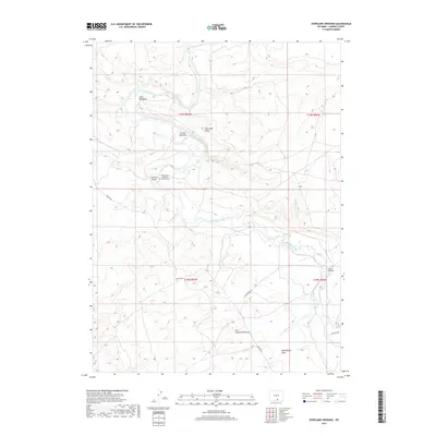
2017 Map of Overland Crossing
USGS Topo · Published 2017About this map
The North Platte River winds through this Carbon County landscape, a vital corridor marked by its crossings and meadows. The Pioneer-Gem Overland Crossing Cem stands near the riverbanks north of Johnson Island, preserving the legacy of early transit routes through the region. Along the river's course, local landmarks like Pick Bridge and family-named clearings such as Kent Meadows and McKeal Meadows define the traditional land use and settlement pattern.
Find a feature on this map
17 named features on this map. Tap any name to fly to it.
Don’t see what you’re looking for? This feature index may not catch every label — zoom into the map to look around manually.
Map Details
Editions of this 2017 Overland Crossing Map
This is the sole edition of this map. No revisions or reprints were ever made.
Other maps of this area

1893 · Fort Steele
USGS Topo · 1:125,000

1932 · Savery
USGS Topo · 1:96,000

1939 · Saratoga
USGS Topo · 1:125,000

1940 · Savery
USGS Topo · 1:125,000

1954 · Rawlins
USGS Topo · 1:250,000

1955 · Overland
USGS Topo · 1:24,000

1955 · Overland Crossing
USGS Topo · 1:24,000

1955 · Meads
USGS Topo · 1:24,000

1955 · Savage Ranch
USGS Topo · 1:24,000

1956 · Bolten Ranch
USGS Topo · 1:62,500