
1964 Map of Ovett
USGS Topo · Published 1965About this map
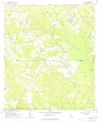
Bogue Homo snakes through the center of this Mississippi landscape, dividing the piney woods of Jones and Perry Counties in the mid-1960s. The settlement of Ovett stands as a focal point in the northeast, positioned along the corridor of the Mobile and Ohio railroad. Much of the eastern half of the map is defined by the De Soto National Forest, where the terrain is marked by numerous watercourses like Tiger Creek and Hog Branch.
Find a feature on this map
44 named features on this map. Tap any name to fly to it.
Don’t see what you’re looking for? This feature index may not catch every label — zoom into the map to look around manually.
Map Details
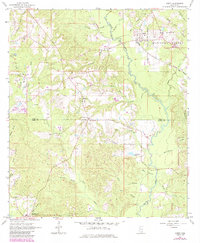
Editions of this 1964 Ovett Map
3 editions found
Other maps of this area

1953 · Hattiesburg
USGS Topo · 1:250,000

1958 · Hattiesburg
USGS Topo · 1:250,000

1963 · Barrontown
USGS Topo · 1:24,000

1964 · Carterville
USGS Topo · 1:24,000

1964 · Rhodes
USGS Topo · 1:24,000

1964 · Ovett SE
USGS Topo · 1:24,000

1964 · Richton
USGS Topo · 1:24,000

1964 · Ellisville
USGS Topo · 1:24,000

1964 · Strengthford
USGS Topo · 1:24,000

1964 · Lanham
USGS Topo · 1:24,000