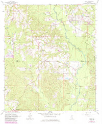
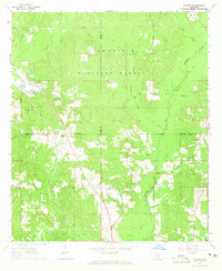
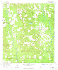
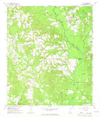
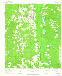
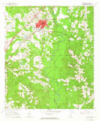
1964 Map of Ovett
USGS Topo · Published 1985About this map
De Soto National Forest blankets much of this terrain along the border of Jones and Perry counties, where the community of Ovett serves as a local hub. The landscape is defined by an intricate network of waterways, including Bogue Homo and Sweetwater Creek, which wind through the pine-dominated lowlands. This mid-century survey captures a rural Mississippi economy transitioning between traditional timber management and small-scale gravel extraction, with scattered Gravel Pits appearing near the various creek branches.
Find a feature on this map
37 named features on this map. Tap any name to fly to it.
Don’t see what you’re looking for? This feature index may not catch every label — zoom into the map to look around manually.
Map Details
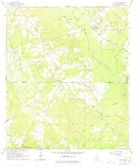
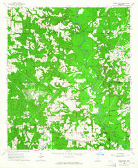
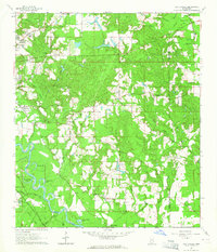
Editions of this 1964 Ovett Map
3 editions found
Other maps of this area

1953 · Hattiesburg
USGS Topo · 1:250,000

1958 · Hattiesburg
USGS Topo · 1:250,000
1963 · Barrontown
USGS Topo · 1:24,000
1964 · Carterville
USGS Topo · 1:24,000
1964 · Rhodes
USGS Topo · 1:24,000
1964 · Ovett SE
USGS Topo · 1:24,000
1964 · Ovett
USGS Topo · 1:24,000
1964 · Richton
USGS Topo · 1:24,000
1964 · Ellisville
USGS Topo · 1:24,000
1964 · Strengthford
USGS Topo · 1:24,000