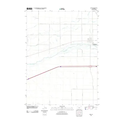
2010 Map of Ovid
USGS Topo · Published 2010About this map
Ovid sits at a strategic point in the high plains of Northeast Colorado, where the waters of Lodgepole Creek meet the South Platte River valley. This 2010 survey illustrates a landscape defined by an intricate network of irrigation systems essential to the region's agricultural economy. Prominent man-made waterways like Settlers Ditch, Highline Canal, and Peterson Ditch crisscross the terrain north of the river, while South Reservation Ditch runs along its southern flank. The map records the intersection of regional transport and natural hydrology, showing how the local infrastructure accommodates the broad, braided channels of the South Platte. Beyond the residential grid of the town, industrial activity is noted at the Ovid Pit, and a significant powerline corridor traverses the southern reaches of the quadrangle, reflecting the modern utility developments in Sedgwick County.
Find a feature on this map
25 named features on this map. Tap any name to fly to it.
Don’t see what you’re looking for? This feature index may not catch every label — zoom into the map to look around manually.
Map Details
Editions of this 2010 Ovid Map
This is the sole edition of this map. No revisions or reprints were ever made.
Other maps of this area

1899 · Sidney
USGS Topo · 1:125,000

1900 · Chappell
USGS Topo · 1:125,000

1952 · Julesburg SW
USGS Topo · 1:24,000

1952 · Julesburg SE
USGS Topo · 1:24,000

1952 · Marks Butte
USGS Topo · 1:24,000

1953 · Ovid
USGS Topo · 1:24,000

1953 · Julesburg
USGS Topo · 1:24,000

1953 · Sedgwick
USGS Topo · 1:24,000

1954 · Sterling
USGS Topo · 1:250,000

1954 · Scottsbluff
USGS Topo · 1:250,000