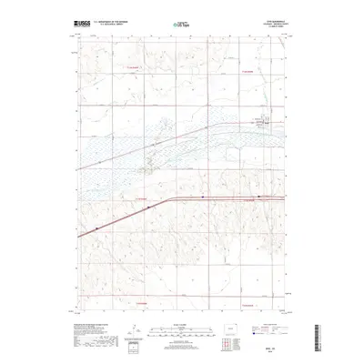
2019 Map of Ovid
USGS Topo · Published 2019About this map
South Platte River braiding and bottomlands dominate this section of Sedgwick County, where a complex network of early water engineering projects sustains the agricultural valley. The town of Ovid is situated on the northern bank, featuring a clearly defined street grid with names like Parker Ave and Monroe Ave. This landscape is defined by the vital transition from the high plains to the river's edge, managed through a series of historic irrigation channels including Highline Canal, Settlers Ditch, and Peterson Ditch. North of the town, Lodgepole Cr winds through the northern townships, marking the convergence of two significant watercourses. The infrastructure recorded here by the U.S. Geological Survey reflects the enduring reliance on the river for settlement and survival in northeastern Colorado.
Find a feature on this map
35 named features on this map. Tap any name to fly to it.
Don’t see what you’re looking for? This feature index may not catch every label — zoom into the map to look around manually.
Map Details
Editions of this 2019 Ovid Map
This is the sole edition of this map. No revisions or reprints were ever made.
Other maps of this area

1899 · Sidney
USGS Topo · 1:125,000

1900 · Chappell
USGS Topo · 1:125,000

1952 · Julesburg SW
USGS Topo · 1:24,000

1952 · Julesburg SE
USGS Topo · 1:24,000

1952 · Marks Butte
USGS Topo · 1:24,000

1953 · Ovid
USGS Topo · 1:24,000

1953 · Julesburg
USGS Topo · 1:24,000

1953 · Sedgwick
USGS Topo · 1:24,000

1954 · Sterling
USGS Topo · 1:250,000

1954 · Scottsbluff
USGS Topo · 1:250,000