
1942 Map of Ovid
USGS Topo · Published 1942About this map
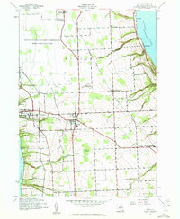
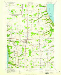
Ovid stands as the central hub of this Seneca County landscape, situated on the high ground between the glacial troughs of Seneca Lake and Cayuga Lake. The 1942 mapping shows a well-established agricultural and institutional corridor, anchored by the significant complex of the Willard State Hospital on the eastern shore of Seneca Lake. A network of rural hamlets including Hayts Corners, Willard, and Romulus are connected by the Lehigh Valley Railroad and the Lehigh Valley Road, reflecting the region's reliance on rail transport for both passengers and the transport of local produce.
Find a feature on this map
45 named features on this map. Tap any name to fly to it.
Don’t see what you’re looking for? This feature index may not catch every label — zoom into the map to look around manually.
Map Details
Editions of this 1942 Ovid Map
3 editions found
Other maps of this area

1899 · Auburn
USGS Topo · 1:62,500

1902 · Geneva
USGS Topo · 1:62,500

1902 · Genoa
USGS Topo · 1:62,500

1902 · Ovid
USGS Topo · 1:62,500

1902 · Auburn
USGS Topo · 1:62,500

1942 · Dundee
USGS Topo · 1:24,000

1942 · Lodi
USGS Topo · 1:24,000

1942 · Sheldrake
USGS Topo · 1:24,000

1942 · Trumansburg
USGS Topo · 1:24,000

1943 · Dresden
USGS Topo · 1:31,680