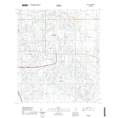
2021 Map of Oviedo SW
USGS Topo · Published 2021About this map
The University of Central Florida serves as a major anchor for this part of Orange County, where suburban expansion meets the conserved wetlands of the Econlockhatchee River basin. This modern survey illustrates the dense residential networks of Alafaya and Union Park, intersected by the prominent corridors of University Blvd and E Colonial Dr. The landscape is defined by its many lakes, including Lake Rouse, Lake Price, and Lake Kehoe, which are integrated into the contemporary neighborhood planning. Amidst this growth, older local landmarks persist, such as the Drawdy-Rouse Cem and the McCulloch Church Rd corridor. To the east and southeast, the map shows a transition to protected lands like the Hal Scott Regional Preserve and Park Trl and the Econ River Wilderness Area Trl, preserving the natural hydrology of the Little Econlockhatchee River.
Find a feature on this map
49 named features on this map. Tap any name to fly to it.
Don’t see what you’re looking for? This feature index may not catch every label — zoom into the map to look around manually.
Map Details
Editions of this 2021 Oviedo SW Map
This is the sole edition of this map. No revisions or reprints were ever made.
Other maps of this area

1953 · Narcoossee NE
USGS Topo · 1:24,000

1953 · Pine Castle
USGS Topo · 1:24,000

1953 · Geneva
USGS Topo · 1:24,000

1953 · Oviedo SW
USGS Topo · 1:24,000

1953 · Narcoossee NW
USGS Topo · 1:24,000

1953 · Bithlo
USGS Topo · 1:24,000

1955 · Orlando
USGS Topo · 1:250,000

1956 · Oviedo
USGS Topo · 1:24,000

1956 · Orlando East
USGS Topo · 1:24,000

1957 · Orlando
USGS Topo · 1:250,000