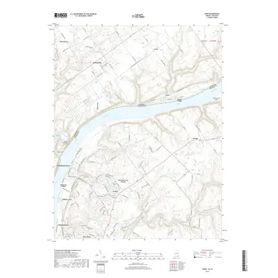
2019 Map of Owen
USGS Topo · Published 2019About this map
The Ohio River serves as the central boundary of this survey, dividing the landscapes of Charlestown, Indiana, from the rural communities of Kentucky. Notable features along the water include Eighteenmile Island and the distinctive topography of Devils Backbone, situated near the confluence with Fourteenmile Creek. This region illustrates the modern expansion of residential developments such as Harmony Lake Estates and Oldham Acres alongside older settlements like Skylight and Goshen.
Find a feature on this map
121 named features on this map. Tap any name to fly to it.
Don’t see what you’re looking for? This feature index may not catch every label — zoom into the map to look around manually.
Map Details
Editions of this 2019 Owen Map
This is the sole edition of this map. No revisions or reprints were ever made.
Other maps of this area

1905 · Prospect
USGS Topo · 1:62,500

1912 · Prospect
USGS Topo · 1:62,500

1932 · La Grange
USGS Topo · 1:62,500

1937 · Jeffersonville
USGS Topo · 1:24,000

1937 · Charlestown
USGS Topo · 1:24,000

1938 · Owen
USGS Topo · 1:24,000

1939 · Bethlehem
USGS Topo · 1:24,000

1946 · Jeffersonville
USGS Topo · 1:24,000

1948 · Bethlehem
USGS Topo · 1:24,000

1948 · Owen
USGS Topo · 1:24,000