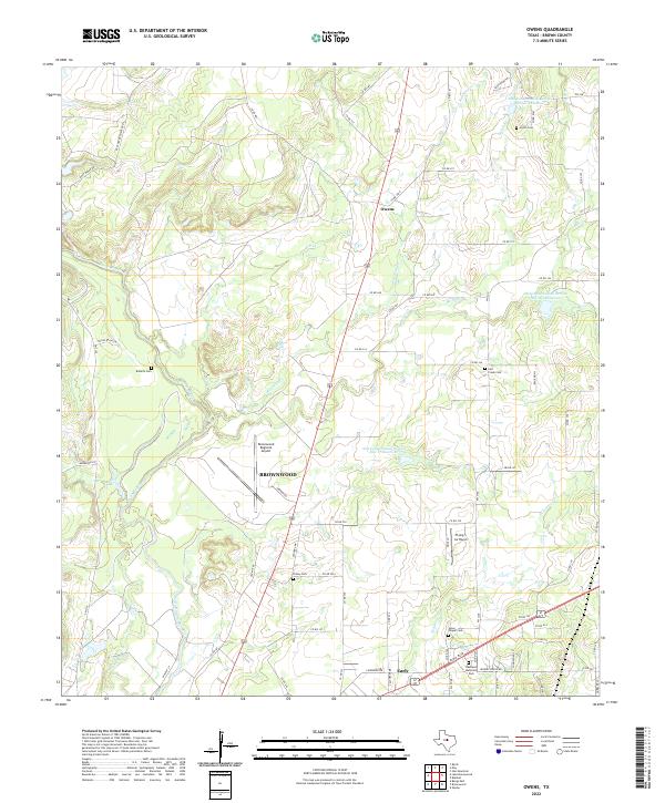
2022 Map of Owens
USGS Topo · Published 2022About this map
Pecan Bayou and its winding tributaries define the landscape of this Central Texas corridor between Brownwood and the northern settlement of Owens. The terrain is characterized by a series of watercourses including Red Hole Creek, Salt Creek, and Elm Creek, which are supplemented by various water management projects like Soil Conservation Service Site 17 Reservoir. Aviation is a notable part of the local infrastructure, with the Brownwood Regional Airport and the Flying S Air Ranch serving the region. For genealogists and local historians, several burial grounds are scattered throughout the area, including Heflin Cemetery in the north and Staley Cemetery near the southern boundary. The map also records the expansion of Early, highlighting the transition from rural creeksides to more developed areas near Eastlawn Memorial Park.
Find a feature on this map
76 named features on this map. Tap any name to fly to it.
Don’t see what you’re looking for? This feature index may not catch every label — zoom into the map to look around manually.
Map Details
Editions of this 2022 Owens Map
This is the sole edition of this map. No revisions or reprints were ever made.
Other maps of this area

1887 · Coleman
USGS Topo · 1:125,000

1889 · Brownwood
USGS Topo · 1:125,000

1889 · Coleman
USGS Topo · 1:125,000

1894 · Brownwood
USGS Topo · 1:125,000

1924 · Coleman 1-a
USGS Topo · 1:48,000

1924 · Brownwood Reservoir Site
USGS Topo · 1:48,000

1925 · Brownwood 3-b
USGS Topo · 1:48,000

1927 · Grosvenor
USGS Topo · 1:62,500

1928 · Zephyr
USGS Topo · 1:62,500

1950 · Zephyr
USGS Topo · 1:62,500