
1915 Map of Owens Creek
USGS Topo · Published 1915About this map
Owens Creek meanders through the foothills of the central valley in this 1915 survey, marking a period when the border between Merced Co and Mariposa Co was defined by early transit routes and seasonal waterways. The terrain is dominated by the drainage systems of Bear Creek and Miles Creek, which intersect with established terrestrial paths like the Merced Road. One of the most significant historical features shown is the Old Miller and Stockton Road, a long-distance thoroughfare that speaks to the era’s regional connectivity before the modern highway system. Surveyed under the direction of R. B. Marshall and Geo. R. Davis, the map captures the precise topography of the drainage basins for Mariposa Creek and its neighbors at a time when the landscape was primarily shaped by cattle ranching and early California commerce.
Find a feature on this map
7 named features on this map. Tap any name to fly to it.
Don’t see what you’re looking for? This feature index may not catch every label — zoom into the map to look around manually.
Map Details
Editions of this 1915 Owens Creek Map
2 editions found
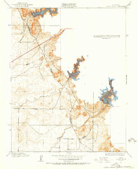
Other maps of this area

1918 · Owens Creek
USGS Topo · 1:31,680

1918 · Planada
USGS Topo · 1:31,680

1918 · La Grand
USGS Topo · 1:31,680

1919 · Indian Gulch
USGS Topo · 1:48,000

1919 · Haystack Mountain
USGS Topo · 1:31,680

1919 · Plainsberg
USGS Topo · 1:31,680

1919 · Raynor Creek
USGS Topo · 1:31,680

1920 · Indian Gulch
USGS Topo · 1:62,500
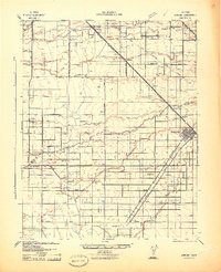
1942 · Athlone
USGS Topo · 1:62,500
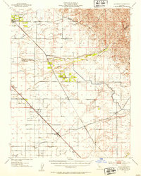
1946 · Le Grand
USGS Topo · 1:62,500