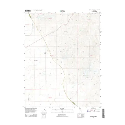
2015 Map of Owens Reservoir
USGS Topo · Published 2015About this map
Pate Cemetery sits north of the modern water management systems of the central California valley, serving as a quiet genealogical anchor in this rural landscape. The terrain transitions from the eastern edge of the San Joaquin Valley toward the rising foothills of the Sierra Nevada, a geography defined by the seasonal flow of Miles Cr, Owens Cr, and Mariposa Cr. The map details the vital infrastructure of the region, including Owens Reservoir and Mariposa Reservoir, which support the local agricultural economy by managing the runoff from the mountains to the east. Sparse residential development is centered around established roads like White Rock Rd and S Fresno Rd, while the Mariposa Co Merced Co boundary line cuts diagonally across the northern and southern sections, marking the administrative divide between these two San Joaquin Valley counties.
Find a feature on this map
23 named features on this map. Tap any name to fly to it.
Don’t see what you’re looking for? This feature index may not catch every label — zoom into the map to look around manually.
Map Details
Editions of this 2015 Owens Reservoir Map
This is the sole edition of this map. No revisions or reprints were ever made.
Other maps of this area
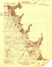
1915 · Owens Creek
USGS Topo · 1:31,680
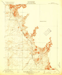
1918 · Owens Creek
USGS Topo · 1:31,680
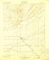
1918 · Planada
USGS Topo · 1:31,680
1918 · La Grand
USGS Topo · 1:31,680
1919 · Indian Gulch
USGS Topo · 1:48,000
1919 · Haystack Mountain
USGS Topo · 1:31,680
1919 · Plainsberg
USGS Topo · 1:31,680
1919 · Raynor Creek
USGS Topo · 1:31,680
1920 · Indian Gulch
USGS Topo · 1:62,500
1942 · Athlone
USGS Topo · 1:62,500