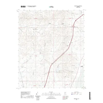
2020 Map of Owens Wells
USGS Topo · Published 2020About this map
Bisland Bayou and Big Cypress Cr snake through the lowlands of Holmes County, Mississippi, defining a landscape marked by a dense distribution of rural burial grounds. The area near McMillan and West Hill is notably rich for genealogical study, containing numerous small family and community plots such as Barksdale Cem, Bush Cem, and Sproles Cem. The map illustrates a transition in land use from the natural drainage of Shipp Cr to the more structured transportation corridor of the modern era.
Find a feature on this map
72 named features on this map. Tap any name to fly to it.
Don’t see what you’re looking for? This feature index may not catch every label — zoom into the map to look around manually.
Map Details
Editions of this 2020 Owens Wells Map
This is the sole edition of this map. No revisions or reprints were ever made.
Other maps of this area

1940 · Lexington
USGS Topo · 1:62,500

1953 · Meridian
USGS Topo · 1:250,000

1953 · Greenwood
USGS Topo · 1:250,000

1953 · West Point
USGS Topo · 1:250,000

1955 · Jackson
USGS Topo · 1:250,000

1956 · Greenwood
USGS Topo · 1:250,000

1957 · Meridian
USGS Topo · 1:250,000

1957 · Lexington
USGS Topo · 1:62,500

1958 · West Point
USGS Topo · 1:250,000

1958 · Lexington
USGS Topo · 1:62,500