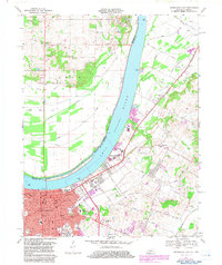
1967 Map of Owensboro East
USGS Topo · Published 1983About this map
The Ohio River dominates this mid-century survey, dividing the industrial and residential heart of Owensboro from the agricultural flats across the state line. The city's eastern expansion is evident through a concentrated network of schools and civic institutions, including Brescia College, Technical High School, and the Opportunity Center School. Transportation corridors such as the Louisville and Nashville railroad and Nashville Road anchor the urban grid, while large-scale land uses like the Elmwood Cemetery, Greenwood Cemetery, and the Monastery mark the landscape.
Find a feature on this map
58 named features on this map. Tap any name to fly to it.
Don’t see what you’re looking for? This feature index may not catch every label — zoom into the map to look around manually.
Map Details
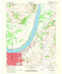
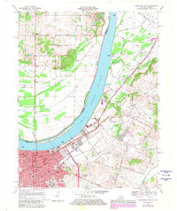
Editions of this 1967 Owensboro East Map
3 editions found
Other maps of this area

1901 · Owensboro
USGS Topo · 1:62,500

1903 · Tell City
USGS Topo · 1:62,500

1906 · Sutherland
USGS Topo · 1:62,500

1907 · Whitesville
USGS Topo · 1:62,500

1909 · Whitesville
USGS Topo · 1:62,500

1952 · Owensboro East
USGS Topo · 1:24,000

1952 · Rockport
USGS Topo · 1:24,000

1952 · Owensboro West
USGS Topo · 1:24,000

1953 · Philpot
USGS Topo · 1:24,000

1953 · Sutherland
USGS Topo · 1:24,000