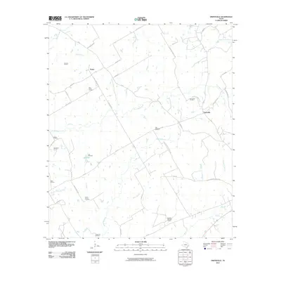
2010 Map of Owensville
USGS Topo · Published 2010About this map
Owensville and Nesbitt anchor this portion of Robertson County, where the landscape is defined by a dense network of country roads and local creek drainages. Small family and community burial grounds, including Anderson Cemetery, Webb Cemetery, and the Little Mississippi Cemetery, are scattered throughout the rural terrain, providing essential landmarks for genealogical research and local history. The land use here is varied, characterized by the East Calvert Oil Field in the west and the Sandbur Ranches Airport to the south.
Find a feature on this map
52 named features on this map. Tap any name to fly to it.
Don’t see what you’re looking for? This feature index may not catch every label — zoom into the map to look around manually.
Map Details
Editions of this 2010 Owensville Map
This is the sole edition of this map. No revisions or reprints were ever made.
Other maps of this area
1927 · Marquez
USGS Topo · 1:62,500
1930 · Marquez
USGS Topo · 1:62,500

1954 · Waco
USGS Topo · 1:250,000

1954 · Austin
USGS Topo · 1:250,000

1955 · Waco
USGS Topo · 1:250,000
1961 · Hearne North
USGS Topo · 1:24,000
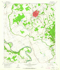
1962 · Calvert
USGS Topo · 1:24,000
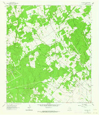
1962 · Wheelock
USGS Topo · 1:24,000
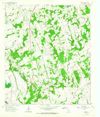
1962 · Hammond
USGS Topo · 1:24,000
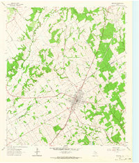
1962 · Bremond
USGS Topo · 1:24,000