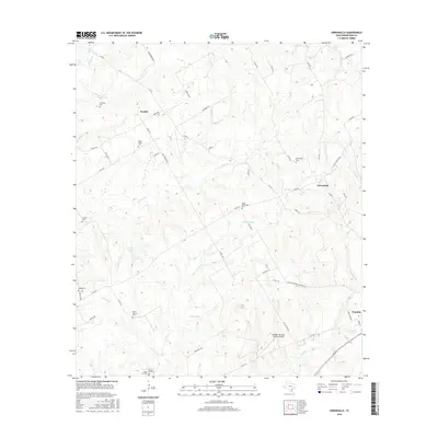
2016 Map of Owensville
USGS Topo · Published 2016About this map
Owensville and Nesbitt anchor this rural landscape in Robertson County, showing a network of country roads and family burial grounds during the mid-2010s. The area is defined by its numerous small creeks, such as Little Mud Cr and S Walnut Cr, which drain into the larger bottomlands. A significant concentration of genealogical sites is evident across the terrain, including Beck Prairie Cem, Little Mississippi Cem, and Mount Vernon Cem, reflecting generations of settlement. In the southeast, the edge of Franklin appears near the confluence of Touchstone Br and Mud Cr. The modern character of the land is further represented by the Sandbur Ranches Private Airport, while older landmarks like Lutz Lake and Anderson Cem persist near the western boundary.
Find a feature on this map
62 named features on this map. Tap any name to fly to it.
Don’t see what you’re looking for? This feature index may not catch every label — zoom into the map to look around manually.
Map Details
Editions of this 2016 Owensville Map
This is the sole edition of this map. No revisions or reprints were ever made.
Other maps of this area
1927 · Marquez
USGS Topo · 1:62,500
1930 · Marquez
USGS Topo · 1:62,500

1954 · Waco
USGS Topo · 1:250,000

1954 · Austin
USGS Topo · 1:250,000

1955 · Waco
USGS Topo · 1:250,000
1961 · Hearne North
USGS Topo · 1:24,000
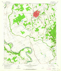
1962 · Calvert
USGS Topo · 1:24,000
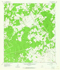
1962 · Wheelock
USGS Topo · 1:24,000
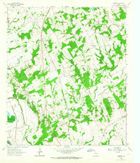
1962 · Hammond
USGS Topo · 1:24,000
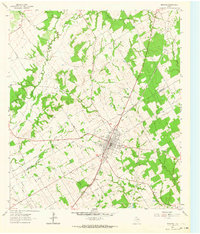
1962 · Bremond
USGS Topo · 1:24,000